Nakolinna Trail

Starting point
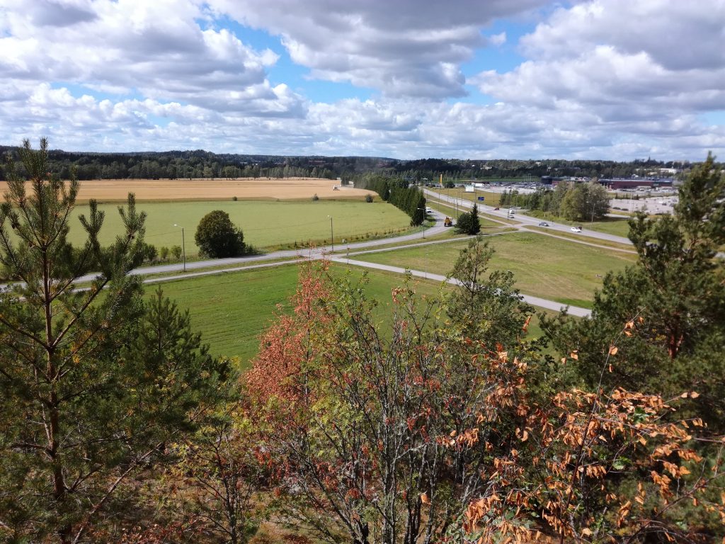
The Nakolinna trail starts along the bike path that turns off Meriniitynkatu (the coordinates of the starting point are P 60° 23.297′ and I 23° 5.895′). The trail branches off from the cycle path, circles Varesvuori clockwise and returns to the starting point. The parking lot is located at Meriniitynkatu 37. To reach the parking lot, take Myllyojankatu.
Signs
At the start of the cycle path on Meriniitynkatu, there is a signpost to Nakolinna.
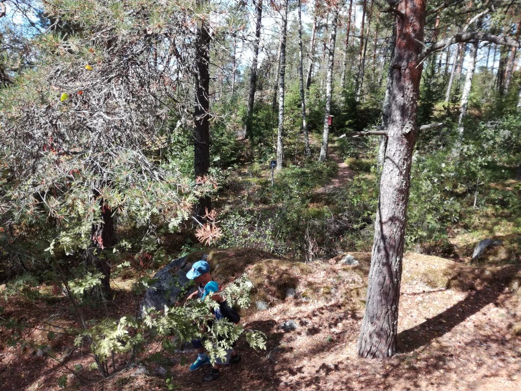
At the starting point of the trail, there is an information board about the route. The routes are marked in the terrain with orange, blue, and yellow diamonds.
Route
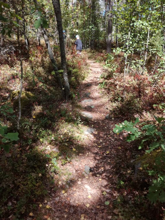
The trail runs clockwise around Varesvuori along a network of trails and bike paths, showcasing the diverse nature of the Nakolinna rock area through various sights. The total length of the trails is approximately 1.5 kilometers, and it takes less than an hour to complete the loop. The trail is easy to walk on and suitable for all ages, but it is not suitable for people with limited mobility, as there are some roots and stones on the trail. Signs of human activity can be seen on the trail, for example in the vegetation. Use of the site is limited to the snow-free season, as the site is not maintained in winter.
Instructions
The nature trail is about 200 meters from the long-distance bus stops along Highway 110. Basic footwear is suitable for the nature trail. The route can be traveled on foot or by mountain bike.
Please take any rubbish with you when you leave. Rubbish thrown into the natural environment is life-threatening to birds and other animals in the area. Lighting fires is strictly prohibited!
In an emergency, call 112.