Hyyppärä-Kultalähde Trail
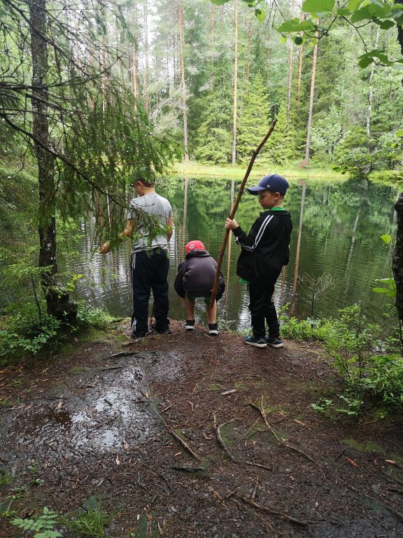
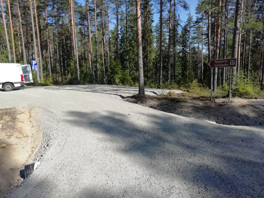
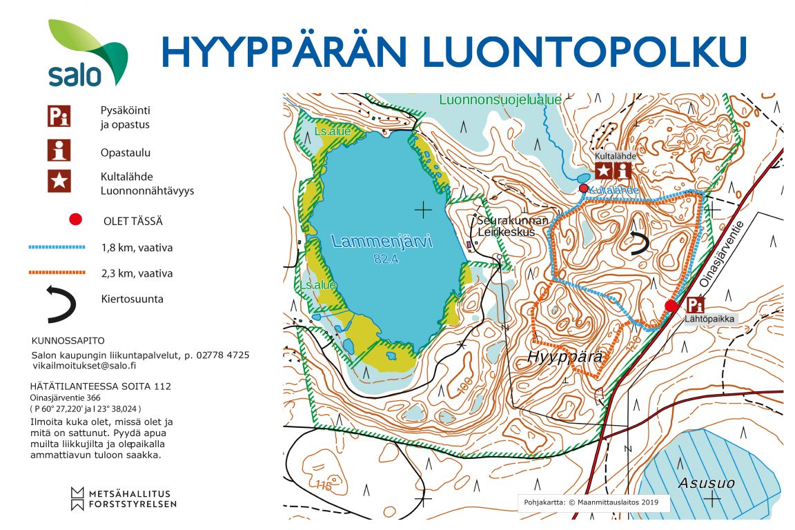
The Hyyppärä-Kultalähde Nature Trail starts from its parking area, and goes around the beautiful esker landscape of Hyyppärä and Kultalähde, before returning to the starting point. Turn to the car park from Oinasjärventie 366 (parking area coordinates: 60°27’220”N, 23°38’024”E).
A brown sign with the text “Hyyppärä Nature Trail” guides visitors to the hiking trail’s car park from Oinasjärventie. The parking area has an information board indicating the location of the trail and a description of the attractions along the route. The route is marked with vertical squares on trees along the nature trail, and there are signposts at the intersections of the route.
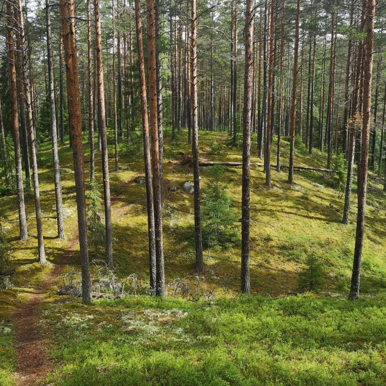
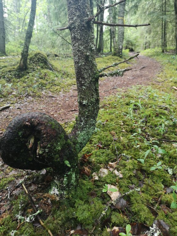
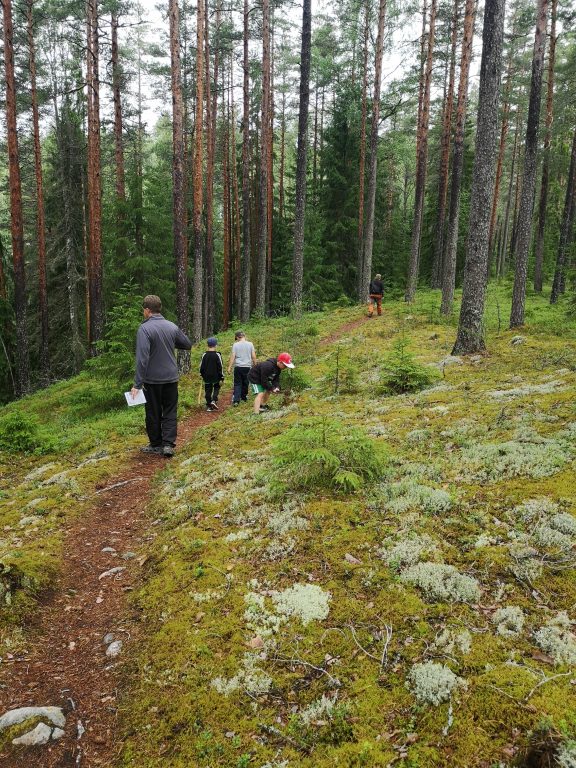
The trail (total length approx. 2.7 km) runs on top of Hyyppärä Esker, along a network of forest trails that resembles a roller coaster ride. At points, the trail climbs up steep ridges and descends thereafter to the bottom of kettle holes. The nature conservation area of Hyyppärä Esker and Kultalähde Spring is part of the Natura 2000 network. The esker area is located in the periphery of the third Salpausselkä, and it includes formations created during the melting stage of the Ice Age, such as ridges, eskers, moraine ridges, flat deltas and rocky areas. One of the highest points in Southwest Finland, 140 metres above sea level, is also located in the esker area. At the northern edge of the trail, you can explore the beautiful and mystical Kultalähde Spring, and feel the peace and tranquillity prevailing in the area. Kultalähde is one of the most remarkable springs in Southern Finland, and it is a few hundred square metres wide, approximately 2 to 3 metres deep, and clear. It is particularly important to note that the shores of Kultalähde are highly sensitive to erosion, and that endangered and rare plants grow there. Therefore, you should not go around the spring along its shoreline. Furthermore, fishing from the spring is strictly prohibited. The grey beard moss hanging from the trees indicates that air is clean in the area. The steep and warm esker slopes are places for diverse plant and animal species.
The nature trail consists of two alternative routes, which are 1.8 km and 2.3 km long. Visitors can choose which one of these alternative routes suits them best. The nature trail is a demanding route and suits people of all ages in good condition. However, it is not suitable for persons with reduced mobility, as the trail includes several very steep rises and downward slopes. Use of the site is limited to the time when the ground is not frozen (April-October), as there is no winter maintenance in the area.
Stay on the marked route as the site contains rare and endangered plant species. Take your rubbish back home with you. Litter thrown into the wild is life-threatening for birds and other animals in the area. Lighting a campfire is strictly prohibited! Fishing is prohibited in the site, as well as using or fouling the spring water. Wear sturdy shoes appropriate for nature trails. It is recommended that you take the nature trail only by walking and not by bike. Every now and then trees fall over the trail, and cyclists can injure themselves.
In an emergency, call 112. (The car park address is Oinasjärventie 366 and its coordinates are 60°27,220”N, 23°38,024”E). Identify yourself, indicate where you are (exact address and municipality) and explain what has happened. Ask other people in the vicinity for help and be present until professional assistance arrives. Guide the helpers to the site. Call again if the situation changes. By downloading the 112 Suomi mobile app and using it in an emergency, you can speed up your access to help. Your location coordinates are automatically transmitted via the application to the emergency response centre. The 112 Suomi application can be downloaded from the app store under “112 Suomi”.
Miscellaneous: The local church has camping facilities near the nature path. For enquiries on rentals, please contact Salo parish, jaana.koli@evl.fi.
